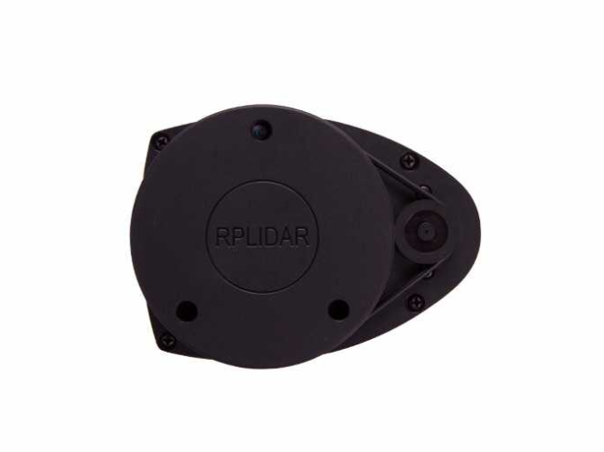
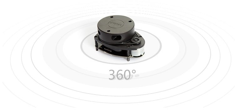
RPLIDAR A1 is a low cost 360-degree 2D laser scanner (LIDAR) solution developed by SLAMTEC. The system can perform a 360-degree scan within the 12-meter range (6-meter range of A1M8-R4 and the blowing models). The produced 2D point cloud data can be used in mapping, localization and object/environment modeling.
RPLIDAR A1’s scanning frequency reached 5.5 Hz when sampling 1450 points each round. And it can be configured up to 10 Hz maximum. RPLIDAR A1 is basically a laser triangulation measurement system. It can work excellent in all kinds of indoor environment and the outdoor environment without direct sunlight exposure. System connection
RPLIDAR A1 contains a range scanner system and a motor system. After power on each sub-system, RPLIDAR A1 start rotating and scanning clockwise.
System connection:
RPLIDAR A1 contains a range scanner system and a motor system. After power on each sub-system, RPLIDAR A1 start rotating and scanning clockwise. The user can get range scan data through the communication interface (Serial port/USB).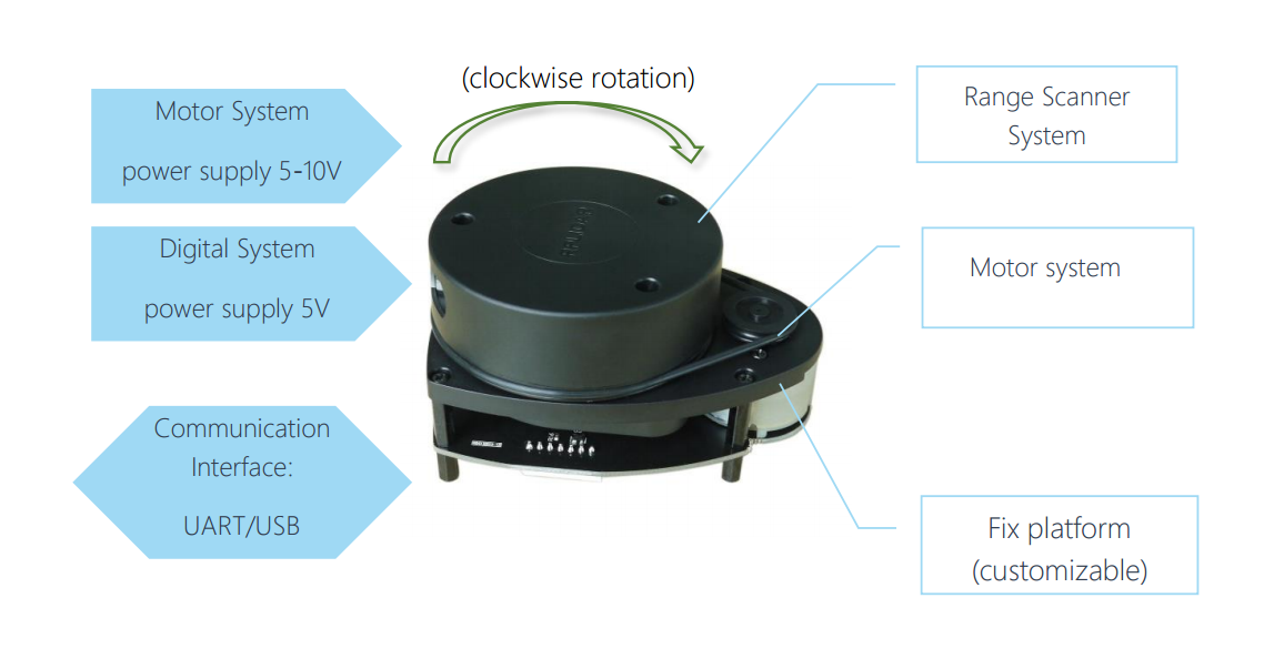
RPLIDAR A1 comes with a speed detection and adaptive system. The system will adjust the frequency of a laser scanner automatically according to motor speed. And host system can get RPLIDAR A1’s real speed through the communication interface. The simple power supply saves LIDAR system’s BOM cost and makes RPLIDAR A1 much easier to use. Detailed specification about power and communication interface can be found in the following sections.
Mechanism:
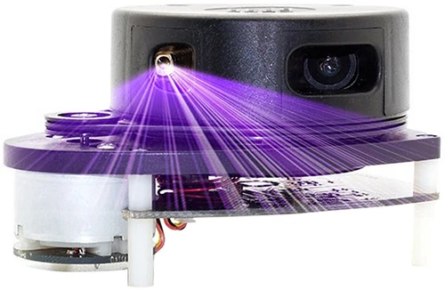
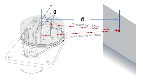
RPLIDAR is based on laser triangulation ranging principle and uses high-speed vision acquisition and processing hardware developed by SLAMTEC. The system measures distance data in more than 8000 times’ per second① and with high-resolution distance output (<1% of the distance). RPLIDAR emits modulated infrared laser signal and the laser signal is then reflected by the object to be detected. The returning signal is sampled by a vision acquisition system in RPLIDAR A1 and the DSP embedded in RPLIDAR A1 start processing the sample data and output distance value and angle value between
RPLIDAR emits a modulated infrared laser signal and the laser signal is then reflected by the object to be detected. The returning signal is sampled by vision acquisition in RPLIDAR and the DSP embedded in RPLIDAR starts processing the sample data, output distance value and angle value between the object and the RPLIDAR. Through processing the sample data is output through a communication interface.
Application Scenarios:
The RPLIDAR A1 can be used in the following application scenarios:
- Home service /cleaning robot navigation and localization
- General robot navigation and localization
- Smart toy’s localization and obstacle avoidance
- Environment scanning and 3D re-modeling
- General simultaneous localization and mapping (SLAM
Specifications:
- 360° laser scanner development kit with omnidirectional laser scan
- High-speed laser triangulation vision system
- Ideal sensor for robot localization & mapping
- User configurable scan rate (rotation speed) via PWM signal.
Package Includes:
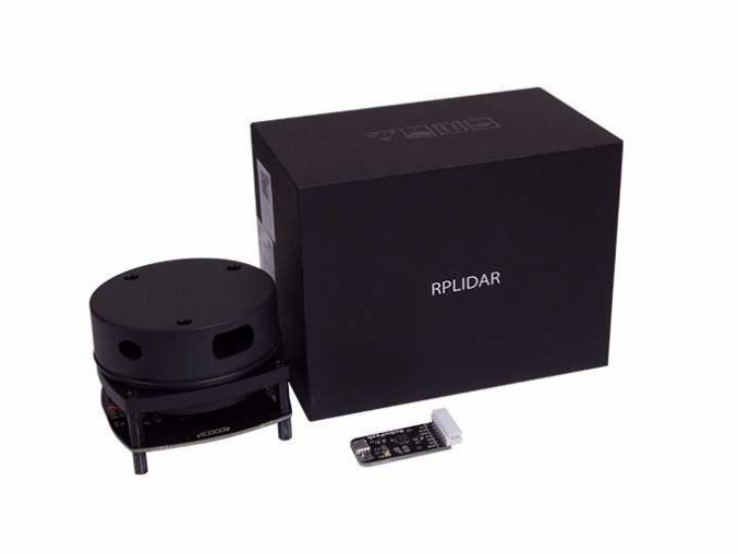
1 x RP LIDAR A1M8 360 Degrees Laser Range Finder
1 x Interfacing Controller and Connecting Cable.
6 Months Warranty
This item is covered with supplier warranty of 6 months from the time of delivery against manufacturing defects only. This is a quality product from the original manufacturer. Only manufacturing defects are covered under this warranty. Reimbursement or replacement will be done against manufacturing defects.











There are no reviews yet.